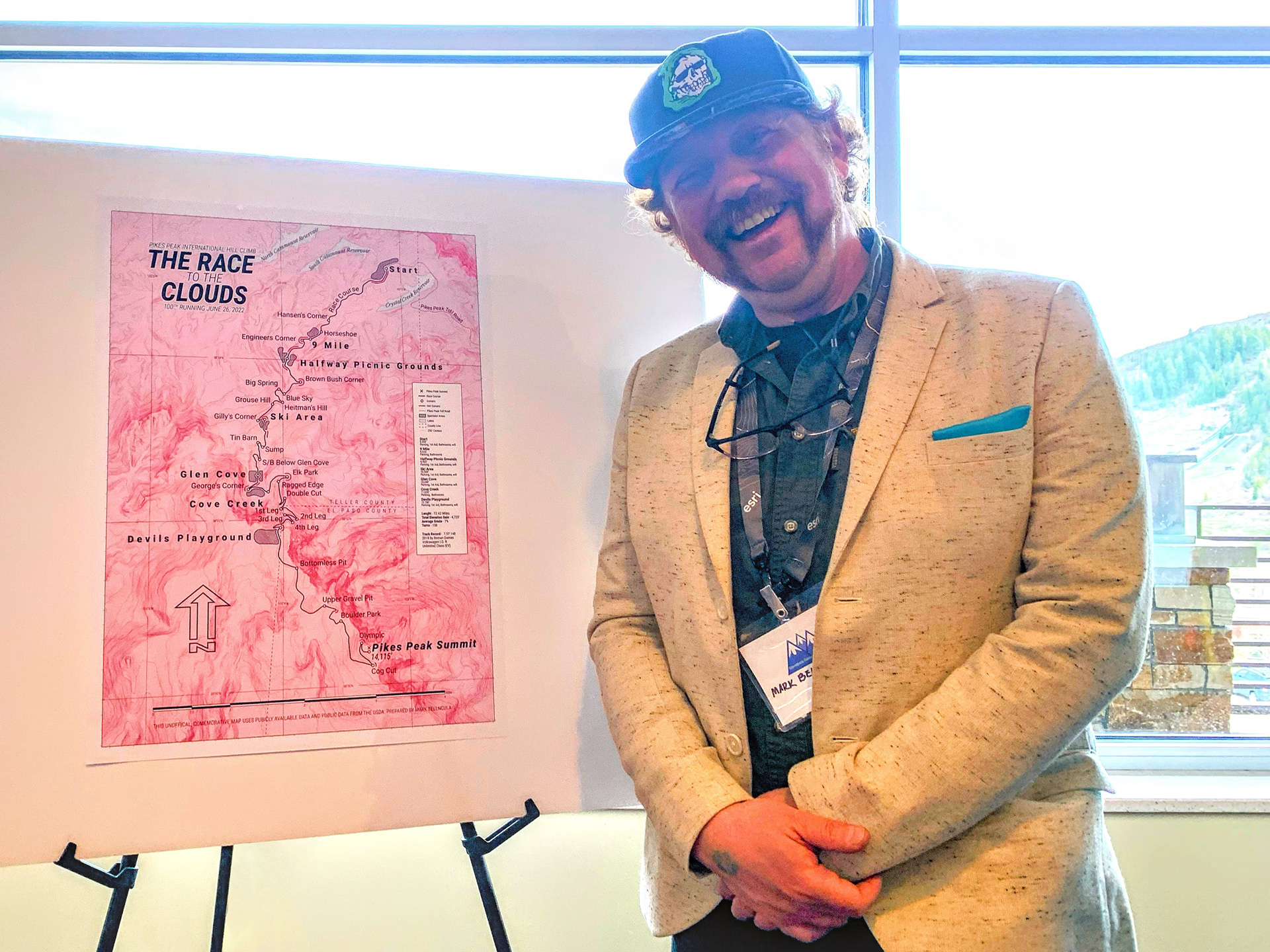

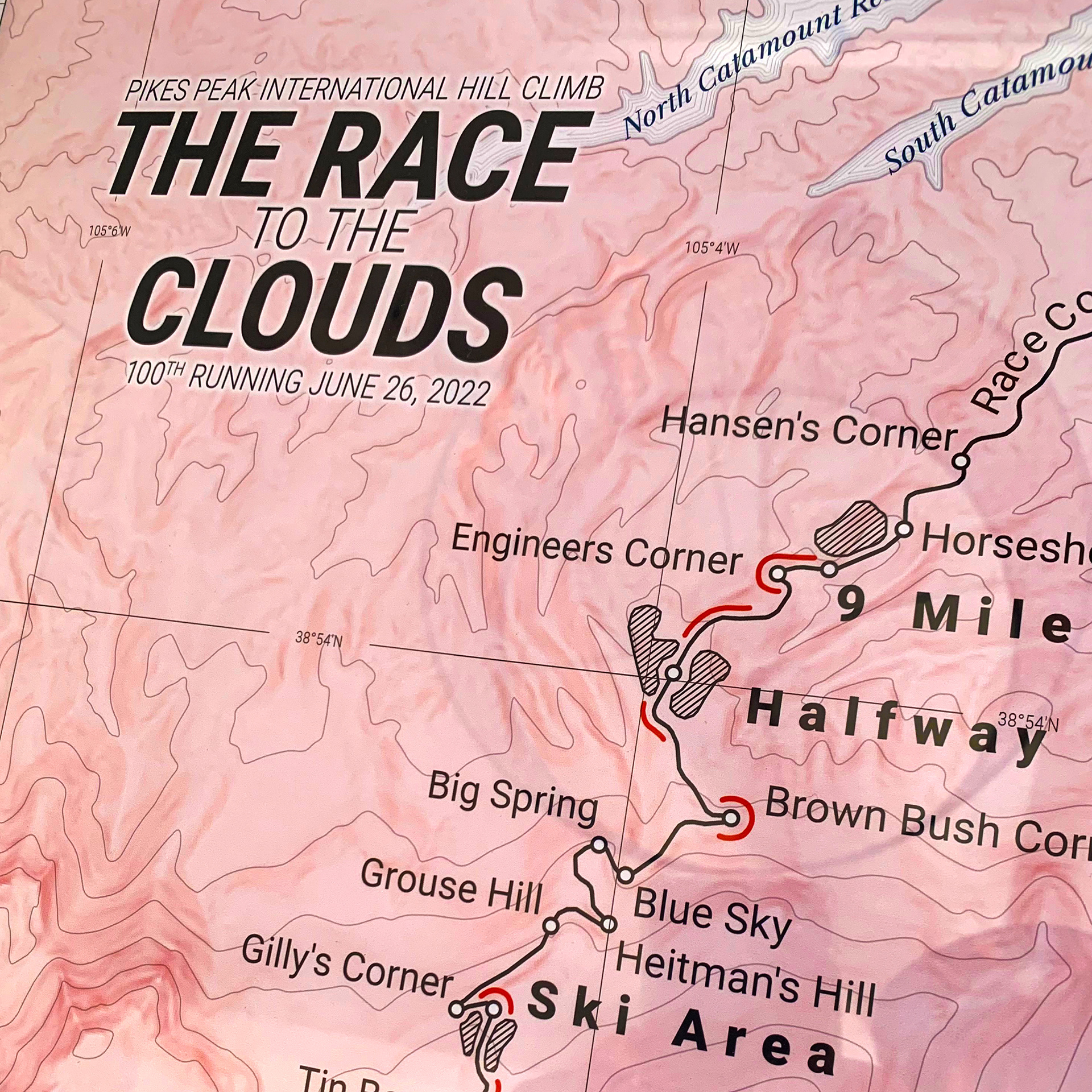
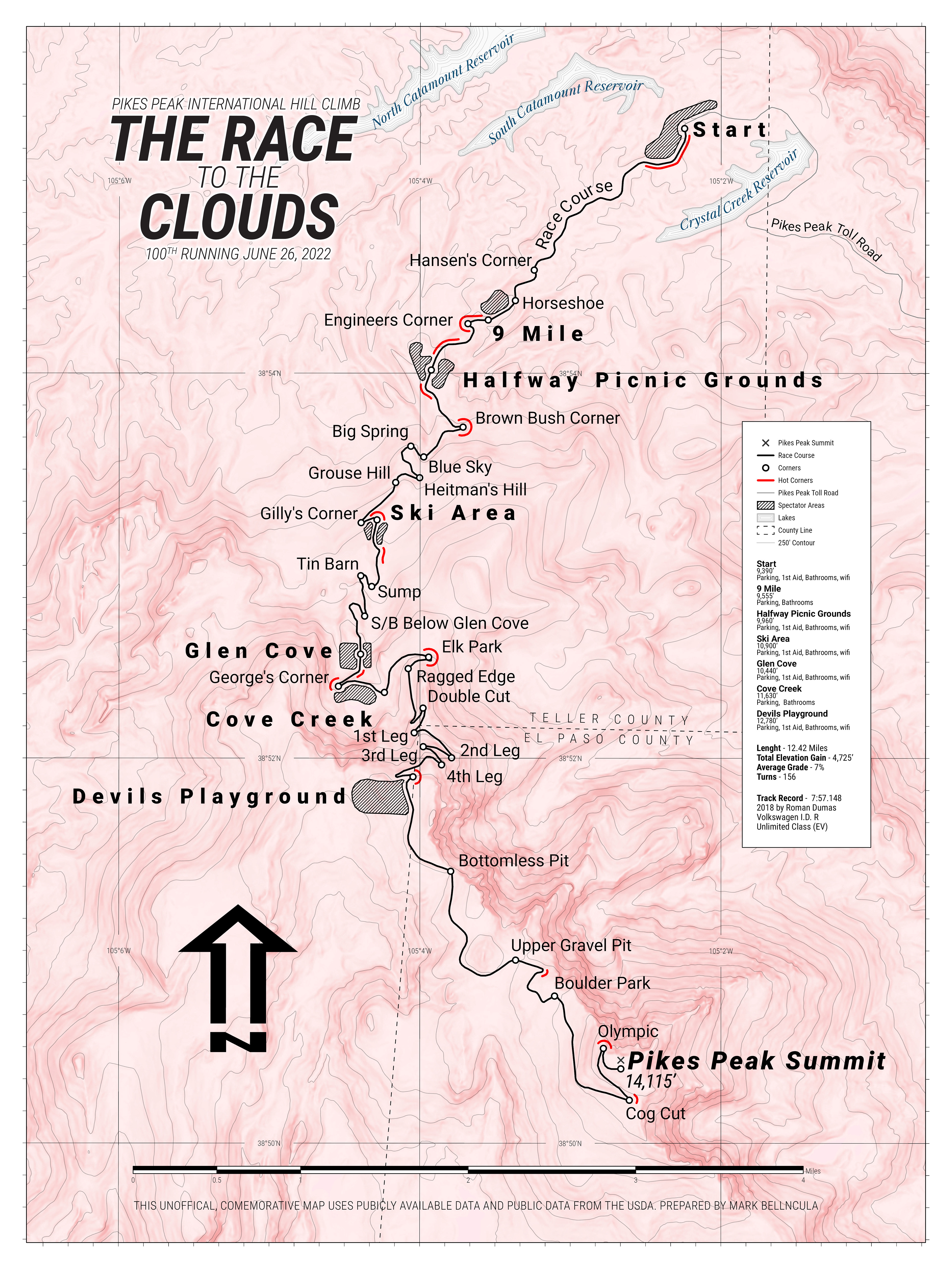
For the 100th running of the Pikes Peak International Hill Climb, Bell & Koola GIS OPS created this unofficial commemorative map that is spectator centric as opposed to the official map which is driver centric. This map is oriented to the north and shows the dangerous terrain that the race course is on. This map uses publicly available data as well as data from the USDA. This map is student work while enrolled at Colorado Mountain College, and is not affiliated with the organisers of the PPIHC.
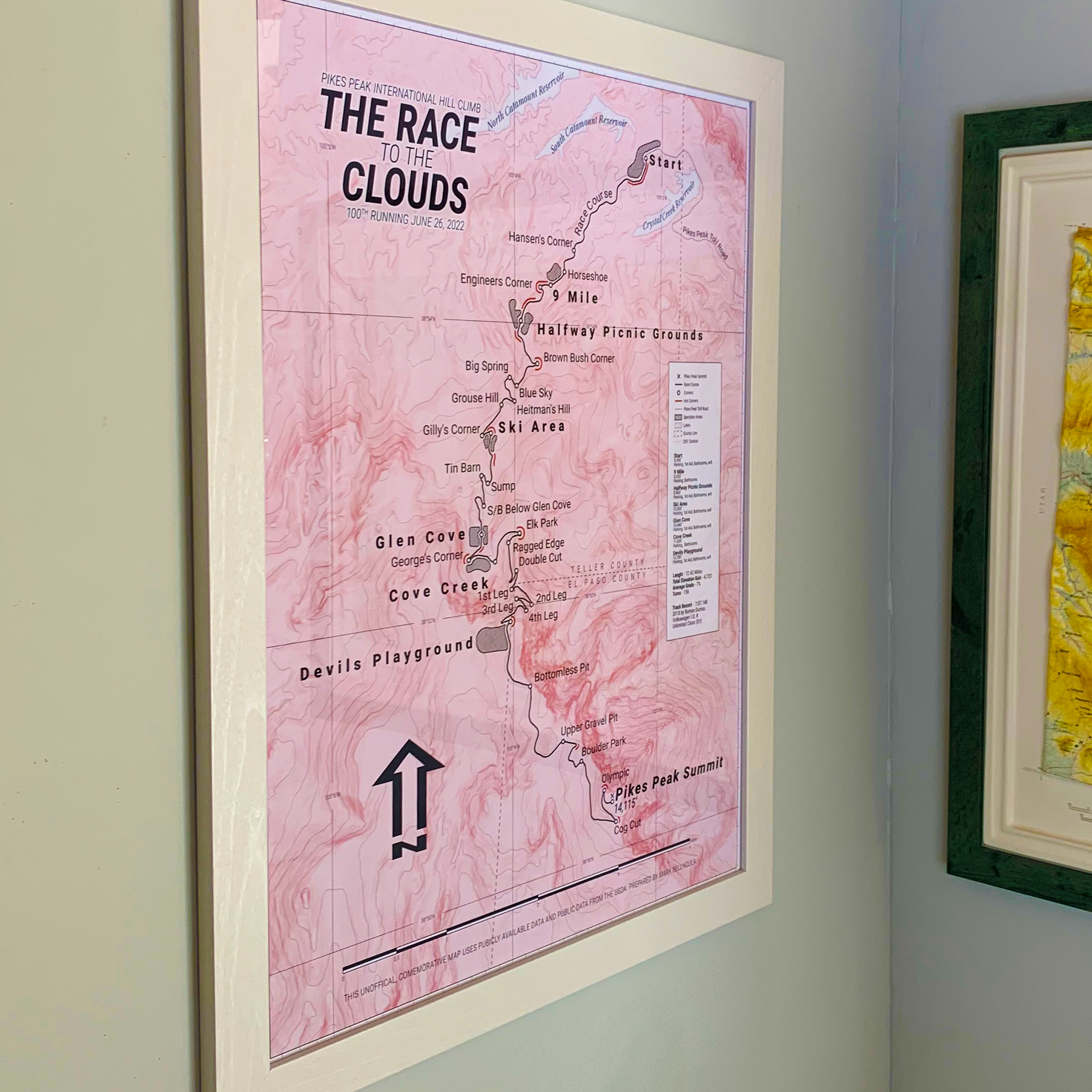
*Award Winner - "People's Choice - Best Map" by GIS professionals from Colorado and Wyoming at the Elevations GeoSummit in Steamboat Springs CO, May 2022.