

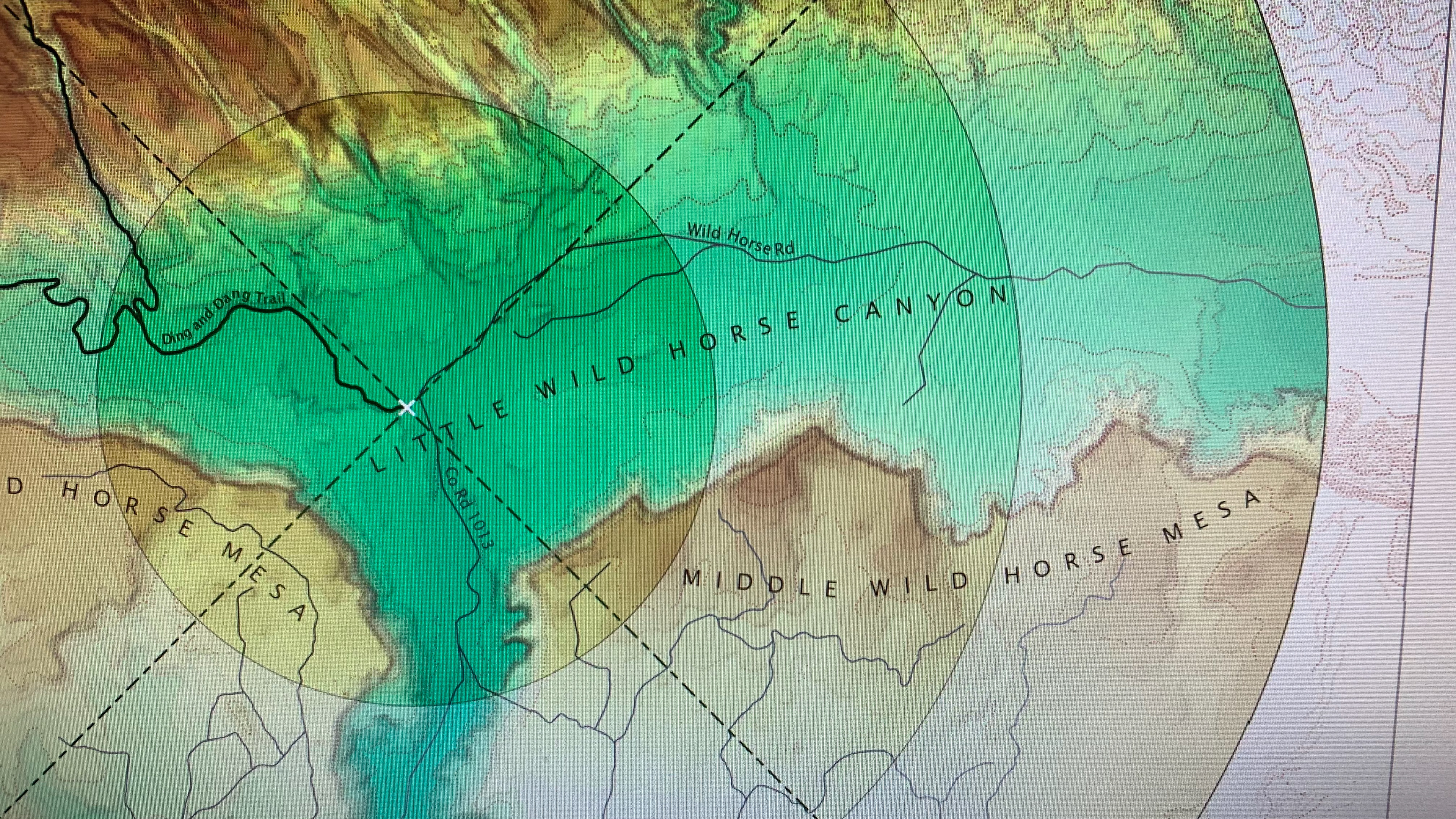
This map shows the surface distance from the trailhead of the Ding & Dang slot canyons at a 2.5 mile radius, to give the map user a sense of distance for a short 5 mile out and back hike. The elevation raster, with a custom hypsometric tint, is combined with a subtle MDOW hillshade as well as a Historic Dots hillshade. Elevation data comes from the USDA. All other features were created by the map designer, Mark Bellncula.
